


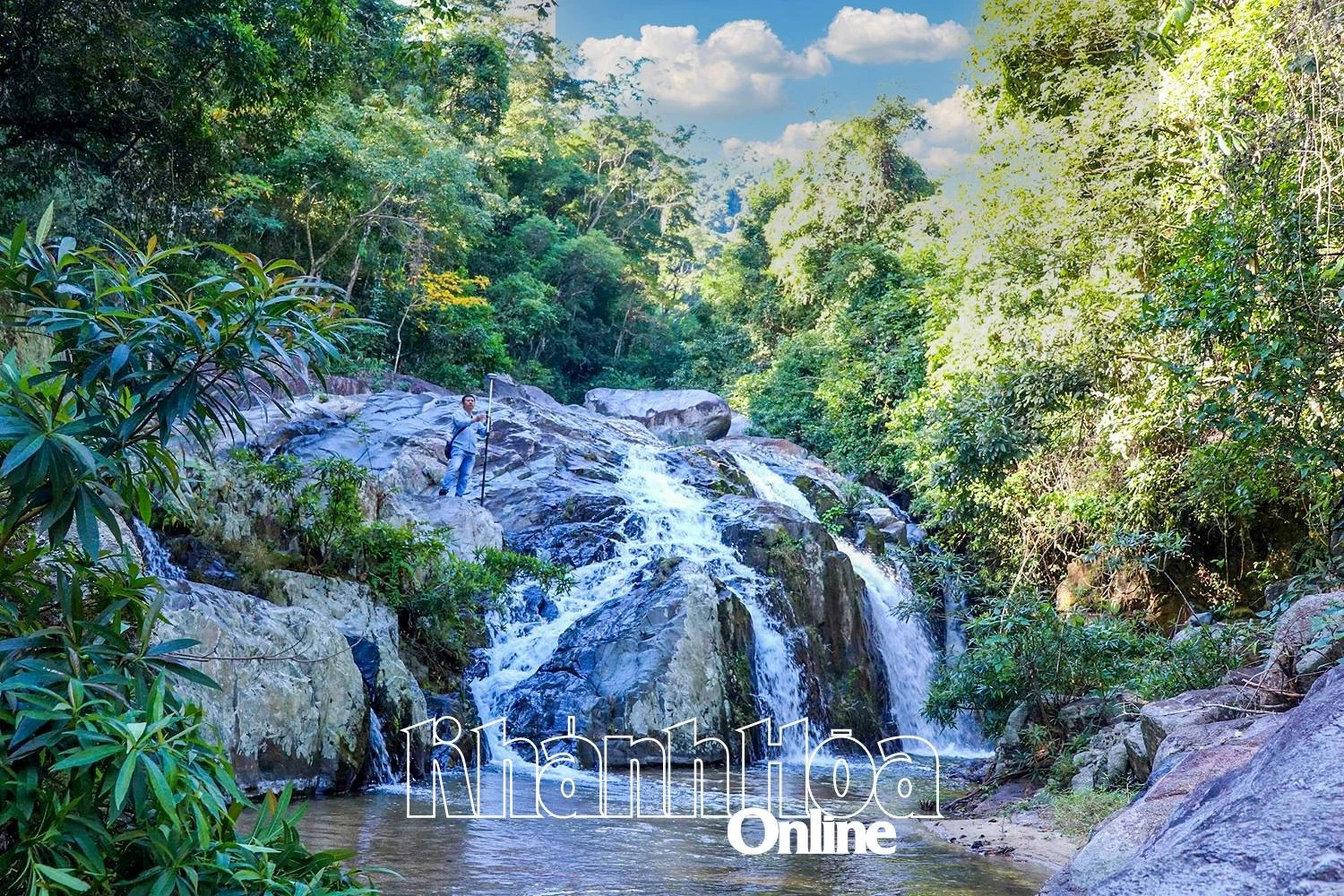
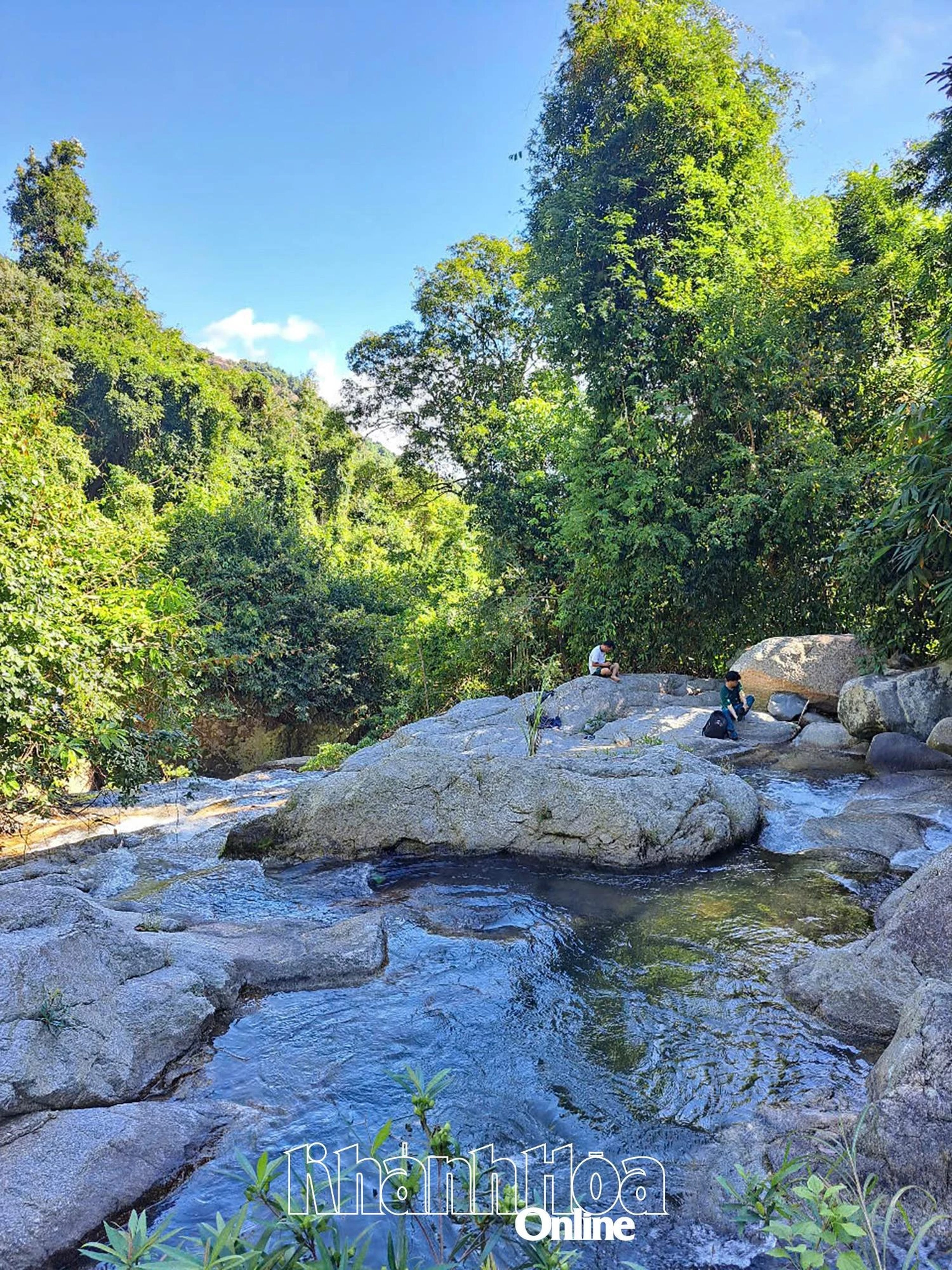
Located in Suoi Hiep commune, Suoi Tien has long been known to locals and tourists alike as a place of beautiful, cool natural scenery. Recently, the province's functional agencies have completed the construction of the dossier for Suoi Tien scenic area to propose its provincial-level ranking as a scenic landscape.
Natural scenery associated with legends
Located about 20km south of Nha Trang, the Suoi Tien scenic area boasts pristine and picturesque natural landscapes with many unique rock formations, waterfalls, caves, and cool stream water. Suoi Tien originates from the Hon Ba mountain range, flowing towards the plains, crossing many mountain gorges and valleys. The stream meanders over rocky rapids, creating a romantic landscape. The upstream area has rugged terrain with stacked rock layers, polished smooth by the stream over time, forming many unique shapes. Surrounding the stream is a primeval forest with many lush ancient trees. Tien Lake is part of Suoi Tien, a natural lake formed by large and small rocks blocking the stream. The water in Tien Lake is clear, cool, and transparent to the bottom, with white sand and small fish. Along Suoi Tien stream, there are other beautiful sights such as: Elephant Footprint; giant human footprint; Fairy Chessboard; Fairy Cave... all bearing unique beauty and associated with folk legends.
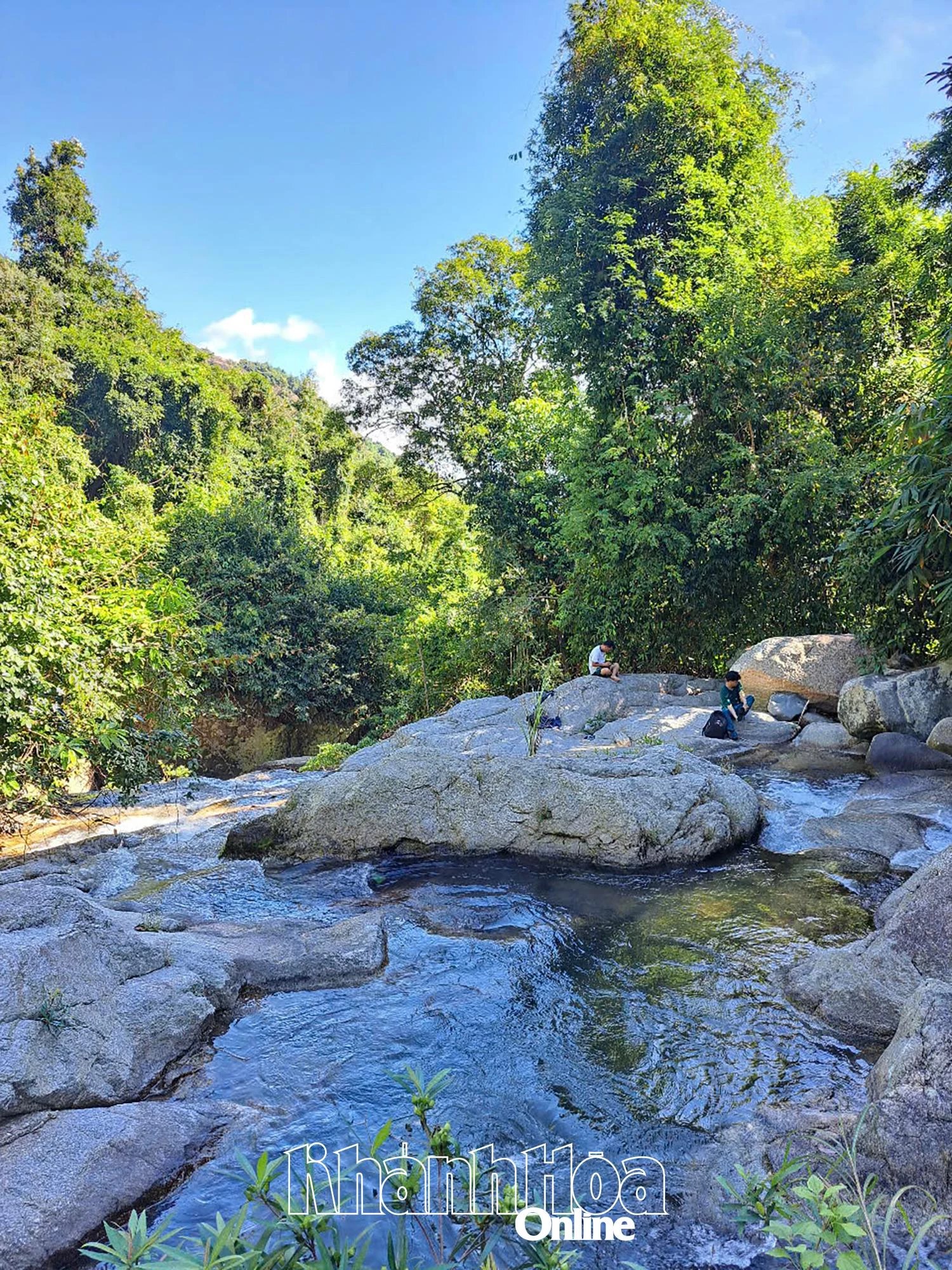 |
| A corner of Suoi Tien scenic area. |
In ancient folklore, there is a verse: "Suoi Tien water flows slowly/Fairies left behind a mossy chessboard/Clouds drift with the days and months/Steadfast rocks still wait day and night...". Legend has it that long ago, a giant went on a journey through the mortal world and stopped to rest at Suoi Tien. But that year coincided with a drought, and the stream was dry without a drop of water, so he prayed to the fairies for rain to fill the stream. The prayer was answered; dark clouds gathered, strong winds blew, causing the giant's belt hanging on an ancient tree to wrap around and stick tightly to a large rock by the stream. Along the stream, there are large flat rocks where fairies often descended to play chess; the giant footprint is explained by folklore as the result of the giant's carelessness, slipping and falling, so one foot pressed into the rock, while his hand gripped the cliff so hard that rocks fell into the sea, becoming Hon Chong, where a giant handprint remains on a rock. The Elephant Footprint is left by fairies riding elephants to visit this place...
Need to be ranked and protected
According to Mr. Le Van Hoa - Deputy Director of the Department of Culture, Sports and Tourism, the Suoi Tien scenic area not only has landscape value but also carries historical and cultural significance through folk tales and events related to the two resistance wars against French colonialism and American imperialism by the people and military of Khanh Hoa. In terms of landscape, Suoi Tien has majestic and beautiful scenery amidst a mountain and forest ecosystem with lush, diverse vegetation. It has long become a destination for locals and tourists to visit and relax.
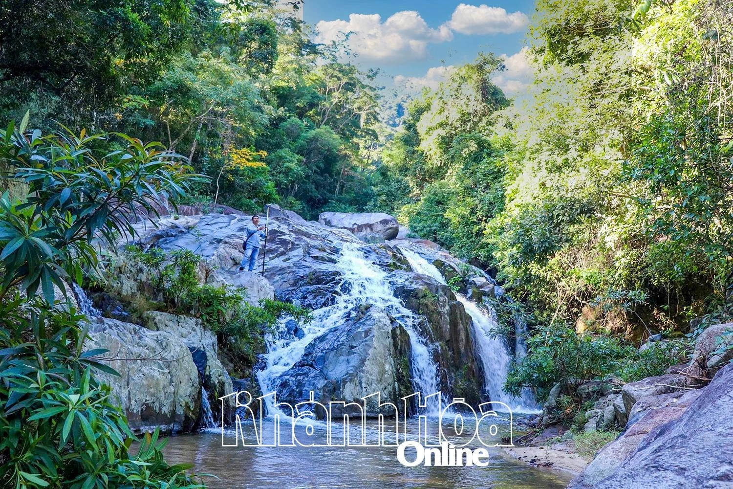 |
| Da Xoi waterfall in Suoi Tien scenic area. Photo: Trung Toan |
It is known that the downstream area of Suoi Tien is currently being exploited for tourism by a company with an area of over 12 hectares. Other areas are still operating tourism spontaneously, lacking strict management, so many places are facing pollution from waste left by locals and tourists; the encroachment on the beautiful landscapes and ecosystem here is still silently occurring. To preserve and promote the cultural and historical values of Suoi Tien scenic area, on April 23, the Khanh Hoa Provincial Relic Conservation Center issued a document proposing the establishment of a dossier for ranking Suoi Tien as a scenic landscape. Accordingly, Suoi Tien scenic area has been included in the inventory list of relics according to the decision of the Khanh Hoa Provincial People's Committee, so the preparation of a scientific dossier for provincial-level relic ranking is appropriate. However, during the process of preparing the dossier, it is necessary to coordinate with relevant agencies and units to research and review related planning to ensure that the determination of the protection area does not overlap with other plans; for the area currently being operated for tourism, careful consideration should be given to development orientation to establish a reasonable protection zone.
GIANG DINH