

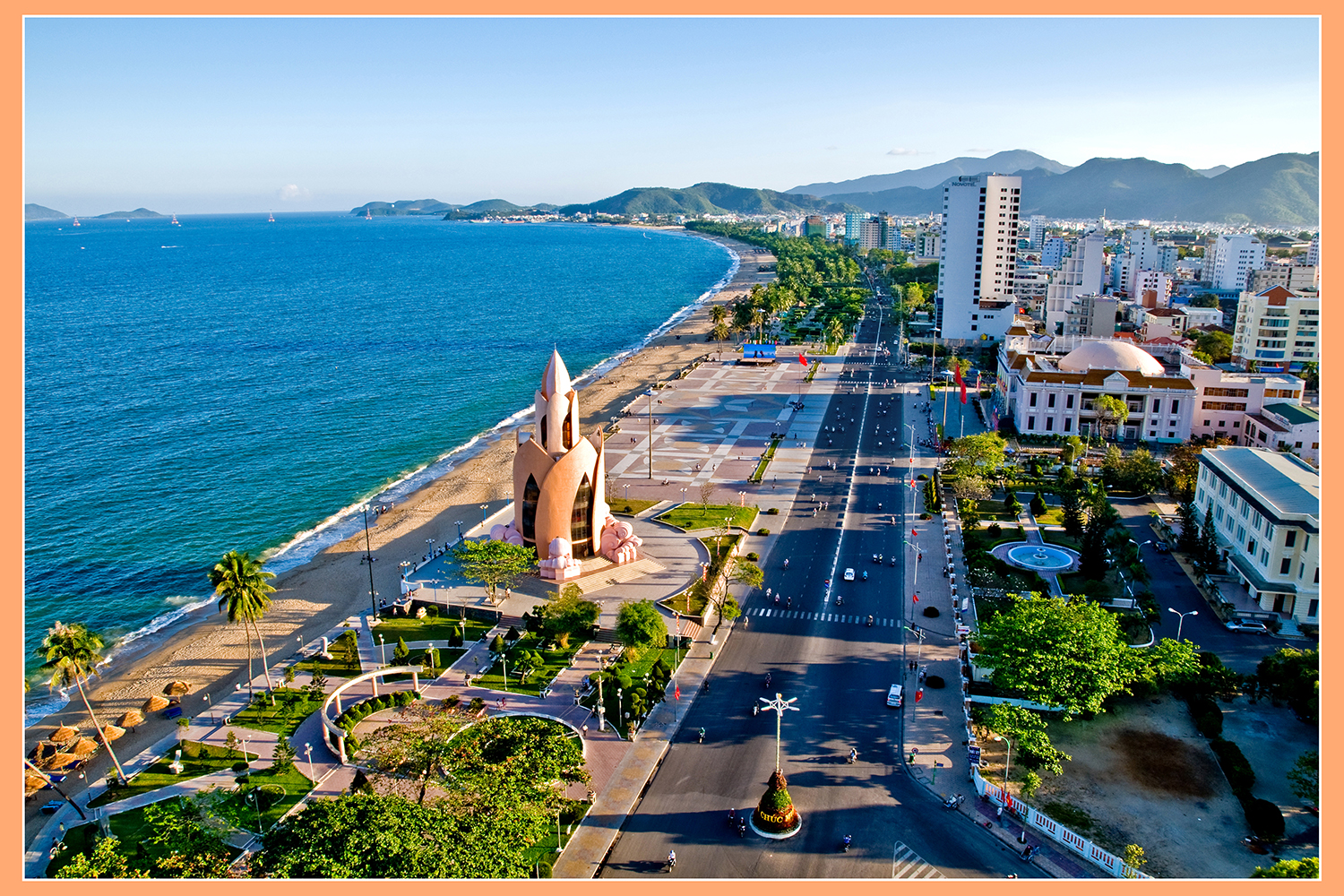
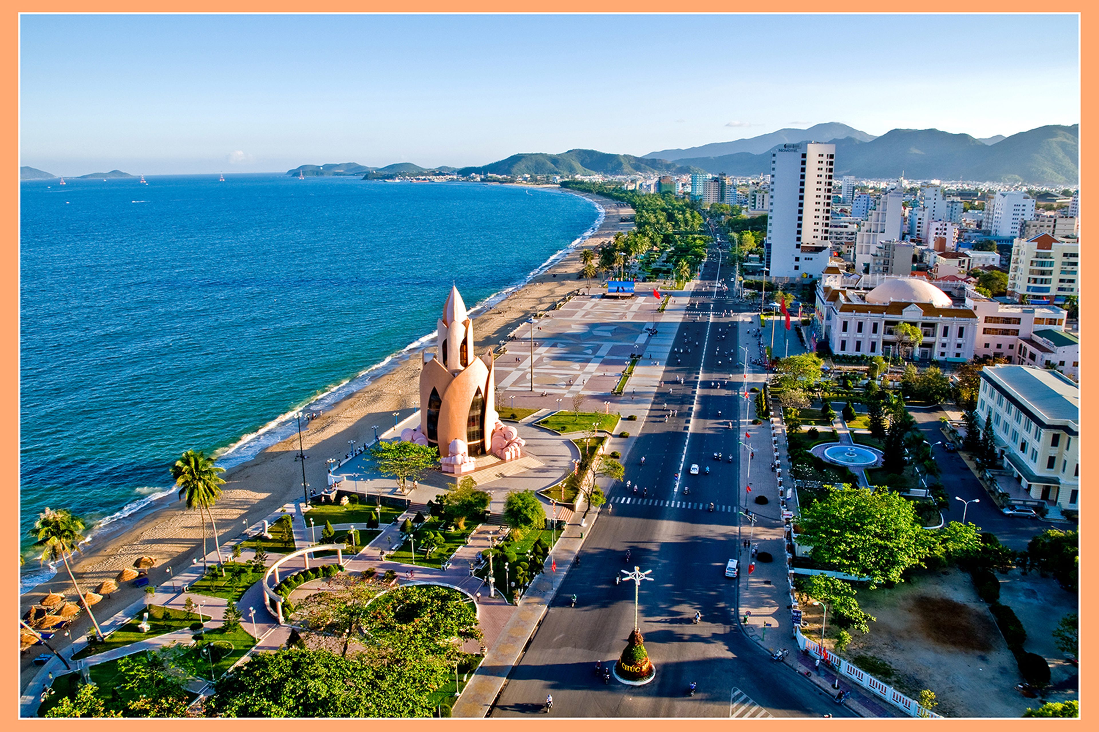
Nha Trang Bay is located within the coordinates of 12°08’33” to 12°25’18” North latitude and 109°07’16” to 109°14’30” East longitude. It has a circumference of 39.82 km (21.50 nautical miles) and a total area of 249.65 km2. The bay encompasses the eastern coastline of Nha Trang city (from Ke Ga Cape, adjacent to the North Nha Trang ward, to Cu Hin Cape and Cu Hin Pass, which borders the Cam Lam district) extending out into the open sea. Connecting the islands of Hon Cau, Hon Noc, and Hon Mun forms the boundary of Nha Trang Bay. The arc of the Nha Trang bay coast can be divided into three segments with three beautiful small arcs, resembling a crescent-shaped flower with three petals: the northern small arc from Cu Hin Cape to Hon Chong (La San hill); the second small arc is the center of the bay's coast (also the center of Nha Trang Ward), which is longer and wider, stretching from La San hill to Canh Long mountain; and the third small arc to the south, from Canh Long mountain to Cu Hin Cape, bordering the Cam Lam district.
Nha Trang Bay possesses the vast beauty of sea and sky, with 19 large and small islands rising from the clear blue waters, and pristine white and sun-kissed golden sand beaches stretching along the bay's arc. Notably, some islands have rocky caves where countless swifts come to nest, providing a major resource: bird's nests, which are considered the "white gold" of Vietnam. The largest and most prominent island standing in the heart of Nha Trang Bay is Hon Tre, with an area of 3,323.15 hectares. The people of Nha Trang view the island as a natural screen gifted to the city, acting as a shield to block storms from the East Sea and protect the city's safety. Consequently, Nha Trang suffers less damage from storms compared to other places. This very island, along with 18 other large and small islands—including Hon Mieu, Hon Mun, Hon Tam, Hon Mot, Hon Rom, Hon Rua, Hon Vung, Hon Cau, Hon Do, Hon Yen, and others—creates the magnificent scenery of Nha Trang Bay.

Taking a boat out to the cluster of islands in the eastern part of Nha Trang Bay—including Hon Cau, Hon Vung, Hon Noc, Hon Tre, Hon Nhon, and Hon Mun—gives one the feeling of viewing a traditional ink wash painting on the bay. Beneath the bay's surface, in addition to countless resources, there are coral reefs; for example, the area around Hon Mun Island forms vibrant and colorful underwater worlds. At night, squid fishing and fishing boats form long lines, resembling a street of lights on the open sea.
Furthermore, Nha Trang Bay is also home to the Bich Dam archaeological site in the Bich Dam island village (belonging to the Xom Con culture).
The arc seen from Ke Ga Cape:
This is the northern boundary marker and a scenic spot with hidden beauty along the Nha Trang Bay arc. Standing here, visitors can see the beautiful scenery of Nha Phu lagoon to the north and the northern island and sea area with islands such as Hon Rua (Hon Mat), Hon Cau, Hon Vung, and the northern part of Hon Tre island. In particular, visitors can observe the impressive scenery at Ke Ga Cape, with its rock formations shaped like a rooster's comb stretching out to the sea.
The arc seen from the Hon Chong - Nha Trang Bay Assembly Hall area:
From here, one can get an overview of the entire panorama of the northern islands of Nha Trang Bay, Hon Chong - Hon Do, the city center of Nha Trang, Tran Phu street, and the entire arc of Pham Van Dong street. In particular, one can clearly see Co Tien mountain, which resembles a beautiful young woman with a full-of-life physique, lying back comfortably and immersing herself in the cool, attractive, and emotive sea breeze. Nature and the folklore legends at the Hon Chong - Hon Do scenic site create a poetic beauty for this area.
The arc from La San hill to Canh Long mountain:
East of the Tran Phu bridge, there are rock masses protruding above the sea level, on which sits the Cua Bien shrine dedicated to the Five Elements, Mountain deities, the Earth God, and more. Natural rock formations combine with the scene of boats passing by the river mouth near Xom Bong bridge and Tran Phu bridge.
Visitors cannot help but be amazed and moved by the beauty of the sea and islands standing tall in the east, the majesty of the overlapping mountains in the south, and the romantic charm of the fishing village with hundreds of boats bobbing on the deep blue sea. Standing on a high mountain looking down at the deep sea gives one a thrilling, lightheaded sensation. This place has the Cau Da port, where boats and ships frequently and busily enter and exit. Occasionally, giant international cruise ships dock, bringing thousands of visitors to tour the city with warm welcomes featuring folk cultural programs, creating a festive, joyful atmosphere.
The arc seen from the summit of Cu Hin Pass:
This is the southernmost point of the Nha Trang bay coast, adjacent to the sea area belonging to Cam Ranh Bay. Gazing from here, we can see a complete, close-up view of the bay's representative islands, such as Hon Tre, Hon Mieu, Hon Mot, Hon Tam, and Hon Mun, which stand out against the deep blue sky and sea, swept by the grand winds of the East Sea. This area is close to the overlapping Dong Bo mountain range that juts out into the sea, creating deep abysses with many rocky reefs and the spectacular Cu Hin pass winding along the bay's coast.
Nha Trang Bay becomes even more poetic and lyrical when sitting by the seaside with family and friends to wait for the moon to rise. The moonlight slowly emerges from the sea surface, shining and sparkling into long streaks of light on the ocean waves. Along the coastal park path, during the early morning and at night, throngs of people walk and exercise, creating a distinct sports culture on the bay coast.
Scenery off the coast of Nha Trang Bay:
Far offshore, in the east of Nha Trang Bay, one can see countless rocky reefs and fine white sand beaches. In addition, it is possible to visit and participate in high-adrenaline recreational activities such as jet skiing, parasailing, and canoeing on islands such as Vinpearl Land - Hon Ngoc Viet (Hon Tre), Hon Tam, Bai Tru, Bai Con Se Tre, Tri Nguyen Aquarium, and more. Notably, one can visit Yen Island (Swift Island) to learn about the life and reproduction of the swift species that provides the precious bird's nest resource, and not forget to board a glass-bottom boat or go snorkeling/diving to see the wonderful coral reefs at Hon Mun Island.
Nha Trang Bay is further honored by its young, green, and beautiful city that is miraculously changing and evolving every day and every hour, surprising and moving the hearts of everyone who has visited once. In 2003, the "Most Beautiful Bays in the World" club admitted Nha Trang Bay as its 29th member, and on March 25, 2005, the Ministry of Culture and Information (now the Ministry of Culture, Sports and Tourism) designated it as a National Scenic Spot.
 Nha Trang Bay was designated a National Scenic Spot by the Ministry of Culture, Sports and Tourism.
The potential of Nha Trang Bay for marine economy and tourism is immense. Together with the "Nha Trang - Rendezvous of the Sea" sea festival, it brings visitors closer to the life of the coastal city residents, contributing to the promotion of Nha Trang tourism—a place that converges and spreads the image of the people and the country of Vietnam to the world, thereby contributing to the greater prosperity of the Khanh Hoa homeland.
Source: https://disanvanhoa.khanhhoa.vn/